
India Backs UN World Map Resolution, Says J&K And Ladakh Must Follow Official Indian Map
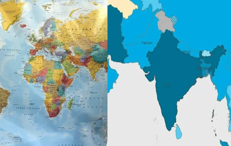
India backs UNGA resolution to depict more accurate and equitable world maps, but New Delhi clarified that its support did not extend to endorsing any specific world map or projection
The resolution adopted by the UN General Assembly on September 4, 2026, is titled “Correct the Map: Rebalancing Global Cartographic Representation and Promoting Equitable Representation of the World’s Regions, particularly Africa”.
India voted in favor of the resolution, saying that its support was based on the need for mapping systems that use equal area projections to represent regions with an accurate perspective on their relative size.
India Clarifies Its Position on the UN Map
As per the ministry, the resolution does not seek to promote, recognize, legitimize, or authenticate any specific map or projection. It does not concern itself with outstanding border disputes or issues of sovereignty or names of places.
India’s mission to the UN said that different projections can serve different purposes and that there was no universally optimal projection. It emphasized that India had supported the resolution because it promoted an equal-area projection.
Strong Message on Jammu & Kashmir and Ladakh
While voting in favor of the resolution, India reiterated its position on the depiction of Jammu & Kashmir and Ladakh in any of the maps.
The MEA said that these regions should only be shown as per the borders recognized by India and any other depiction of India’s territory was “inadmissible”. India’s message on Kashmir and Ladakh remained firm and unequivocal as always.
What Is the UN’s “Correct the Map” Resolution?
- According to the resolution, the UN General Assembly calls upon member states to promote the use of equal-area world maps and projections.
- The draft resolution was introduced to the General Assembly by Togo, at the request of the African Union, and was sponsored by a number of other developing countries. It reflects concern that the traditional Mercator projection used in many world maps distorts the perception of the size of different continents and regions.
- In the Mercator projection, which dates back to the 16th century, the areas of land masses such as Greenland and northern Europe are exaggerated, compared to Africa and other equatorial regions.
- The latest equal earth projection was developed in 2018 to depict the land area of each region accurately.
164 Countries Supported the Resolution
The resolution was adopted by the UN General Assembly with a large majority. It was endorsed by 164 countries, including all African states, and opposed by the US and six other countries, with six nations abstaining.
However, the resolution is not binding, which means that governments, textbook publishers, and map-makers are not obliged to change straight away. The resolution calls upon the countries to consider using equal area projections when educating their citizens, in official documents, and in all other activities that involve depictions of the World.
Tags Cloud